I had a lie in until about 10.30, mooched about the house for an hour or so, then decided to finally do the Wirral Circular trail on my bike. Because of one thing or another, I actually left the house at about 12.30, and, noticing that the wind was blowing from the North, decided to start my journey southwards.
It took about 4 and 3/4 hours to get around the entire route, but I didn't rush, and stopped from time to time to take pictures.
The weather was perfect. Light winds, cool, but not really cold, and generally quite sunny. I knew I'd end up back after dark, but I have lights, and once I'd reached West Kirby, I had the security of knowing that if things got too much, it was only going to be a short bike ride to the nearest Merseyrail Station. I got back to my starting point at about 5.15.
Here's what it looks like in Google Earth.

That blue line is exactly 36 miles long. The lowest point of the route is sea level, rising to 187 feet above sea level on the straight bit along the bottom.
It was good to do this, but I'm suffering a bit now. My palms are a bit bruised. My wrists have taken a bit of a pounding. My thighs are a bit weak and achey, particularly if I go up or down any stairs. But all of those things pale into insignificance when you compare them to where my body intersected the saddle. Painful pressure points, perineum, pudenda and... patootie.
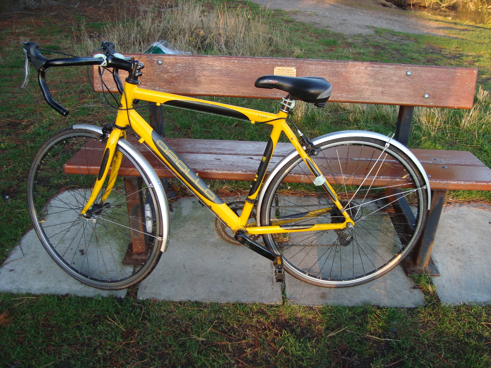
Here are some of the photos I took en route.


The trail does it's best to keep walkers and cyclists off busy roads. Occasionally busy stuff is unavoidable - probably the worst bit is getting across the A41 in Rock Ferry/Tranmere. That's a busy road, and you have to get across several lanes of fairly fast moving traffic. It makes use of the full 12 mile length of the Wirral Way and the pedestrianised sea/riverfront promenades from West Kirby round to Birkenhead Priory.
It's a good place to live in a lot of ways, Wirral. It's close enough to some major cities for a lot of culture to be within easy reach, but there's loads of open space and countryside too. There is quite a sharp difference between the east and west sides of the peninsula. All down the west side, it's very rural. A smattering of towns and villages surrounded by farms and woodlands (and golf courses), while the East side is pretty much one continuous conurbation, from New Brighton right down to Ellesmere Port.
driving lessons in Wallasey?
2 comments:
Congratulations. You completed it. (I didn't 'cos of my negativity/laziness and couldn't be arsed-ness re fixing punctures). I like some of your photos. Some of the bridges remind me of the smell of piss and general murky gloom thoughts though.
The word verification word is "hyment". Risque?
The bridge near Leahurst, passing under the Top Chester Road is particularly evocative in that respect. But if it smells of piss at all, it's only horse piss. I probaby pissed in it many times in my early teens, but the smell has dissipated.
Post a Comment